UN
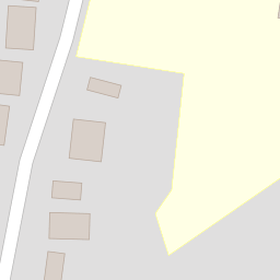
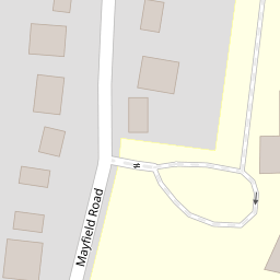
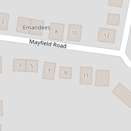
16 Mayfield Road
£ 300,000
Description
We don't have a Description for this property.
- Bedrooms
- 3
- Bathrooms
- 0

Leaflet © OpenStreetMap contributors
The heatmap indicates the level of crime in the area. The color of the heatmap indicates the crime severity and recency.
Metrics Year-on-Year
- Average area value
- 335,155.00 £Increased by 2.16 %
- Average area rental value
- 1,042.00 £/moDecreased by 11.99 %
- Est rental Yield
- 3.73 %Decreased by 13.86 %
- Crime Rate
- 5.00 %Unchanged by 0.00 %
from 328,061.00 £
from 1,184.00 £/mo
from 4.33 %
from 5.00 %
Nearby Schools
| Name | Type | Ofsted | Distance |
|---|---|---|---|
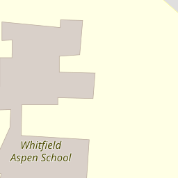
| Whitfield Aspen School | Community School | Good | 0.19 KM |
| Dover Christ Church Academy | Academy Sponsor Led | Requires improvement | 1.38 KM |
| Green Park Community Primary School | Community School | Outstanding | 1.61 KM |
| Buckland & Whitfield Children'S Centre | Children's Centre | 1.77 KM | |
| Shatterlocks Infant And Nursery School | Academy Converter | Outstanding | 2.29 KM |
Images
Nearby Streets
| Name | Average Price | Average Sqft | Distance |
|---|---|---|---|
| Joyes Road | £ 288,333 | 0 | 0.00 KM |
| Castle Drive. | £ 338,333 | 0 | 0.00 KM |
| Bramley Gardens | £ 600,000 | 0 | 0.00 KM |
| The Pier | £ 0 | 0 | 0.00 KM |
| Old Park Close | £ 535,000 | 0 | 0.00 KM |
Nearby Transport
| Name | NLC | TLC | Distance |
|---|---|---|---|
| Kearsney (Kent) | 5038 | KSN | 2.33 KM |
| Dover Priory | 5033 | DVP | 3.95 KM |
| Martin Mill | 5040 | MTM | 6.46 KM |
| Shepherds Well | 5186 | SPH | 7.56 KM |
Nearby Listings
| Address | Price | Type | Score | Distance |
|---|---|---|---|---|
| Mayfield Road, Whitfield, Dover, Kent, CT16 | £ 375,000 | BUY | 6 / 10 | 0.00 KM |
| Mayfield Road, Whitfield, CT16 | £ 400,000 | BUY | Unknown | 0.09 KM |
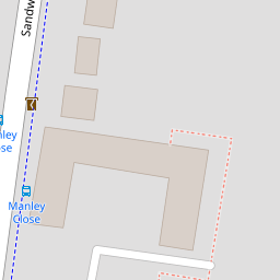
| Lynwood Green, Sandwich Road, Whitfield | £ 599,000 | BUY | Unknown | 0.09 KM |
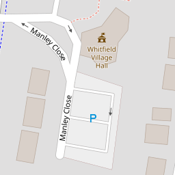
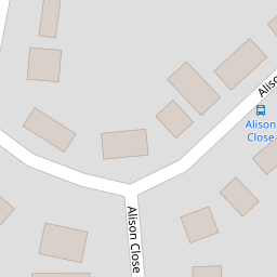
| Manley Close, Whitfield, Dover | £ 155,000 | BUY | 6 / 10 | 0.13 KM |
| Manley Close, Whitfield, Dover | £ 170,000 | BUY | 6 / 10 | 0.13 KM |
Nearby Properties
| Address | Price | Distance |
|---|---|---|
| 24 Mayfield Road | £ 372,000 | 0.00 KM |
| 22 Mayfield Road | £ 225,000 | 0.00 KM |
| 14 Mayfield Road | £ 178,500 | 0.00 KM |
| 40 Mayfield Road | £ 225,000 | 0.00 KM |
| 16 Mayfield Road | £ 300,000 | 0.00 KM |